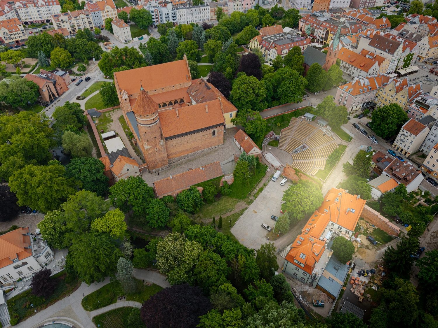
The castle, the moat with the amphitheatre, the Łyna and the park.
You can see it all from the drone.
We took this photograph in May 2026 above Okopowa. Our building is highlighted, and the points show what is what. The compass rose in the corner shows the cardinal directions (north is in the top left of the frame).
Which windows get the sun, and when?
Check it for a specific unit.
The tenement stands with its long axis parallel to Okopowa, turned about 7° from the east–west axis. The northern elevation looks onto the castle, the western one onto the park and the Łyna, the eastern one onto Okopowa and the walls, the southern one onto the Old Town. Choose a date, an hour and a unit — the model shows the position of the sun, the shadow of the building and the light on the elevations. The castle to the north, the park trees and the Łyna are marked approximately, so that you can see at once what lies on which side.
A geometric model: latitude 53,78°N, without allowing for shading by trees and neighbouring buildings. Solar time; in Olsztyn in summer, clock time (CEST) runs about 1 h 40 min “ahead” of solar time — the sun is at its highest around 12:40 CEST.
Everything that matters within five minutes.
On the doorstep · up to 5 minutes on foot
Hospitals and the Faculty of Medicine
City, university, lakes
Further afield
The castle and the moat from the air — footage from May 2026.
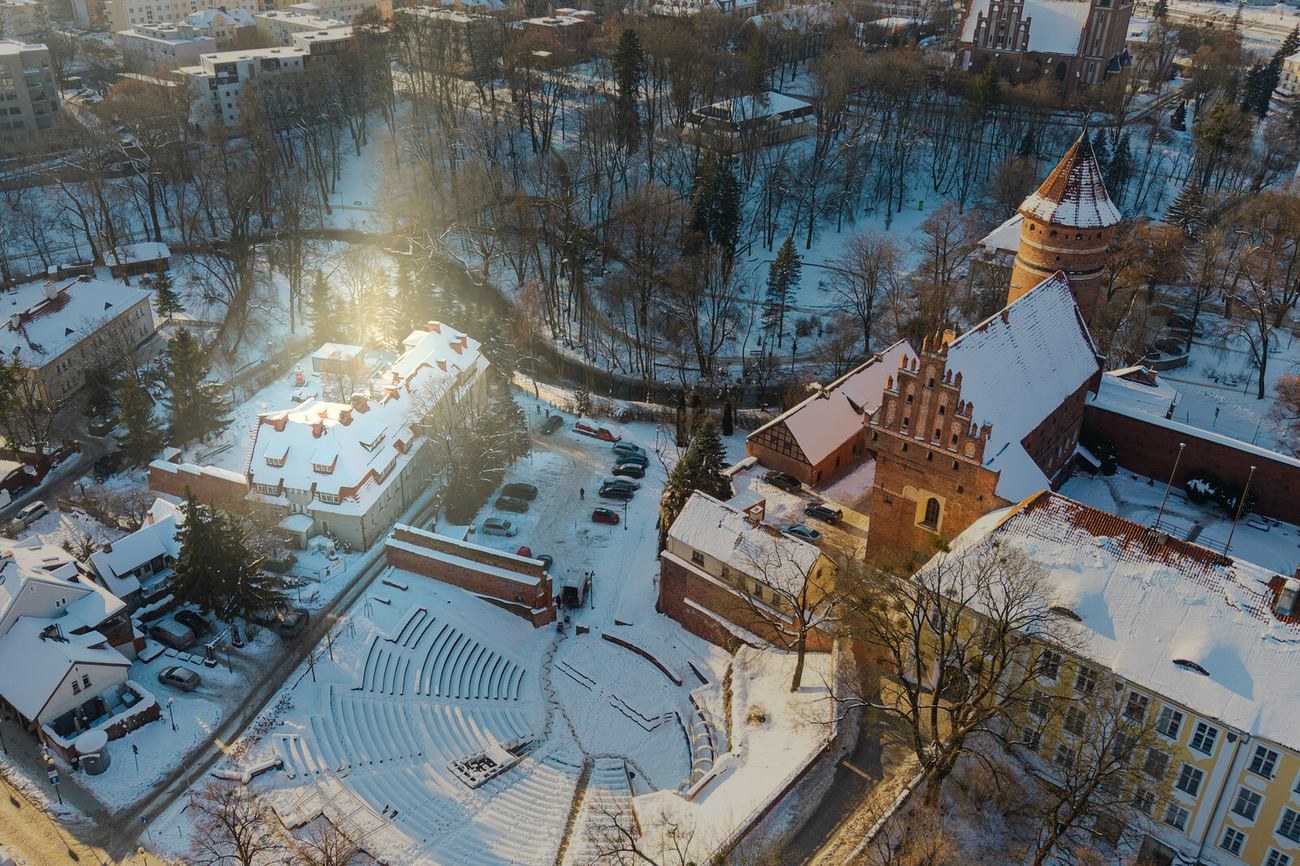
The same frame in winter: the amphitheatre in the moat, the car park and the highlighted building (February 2026).